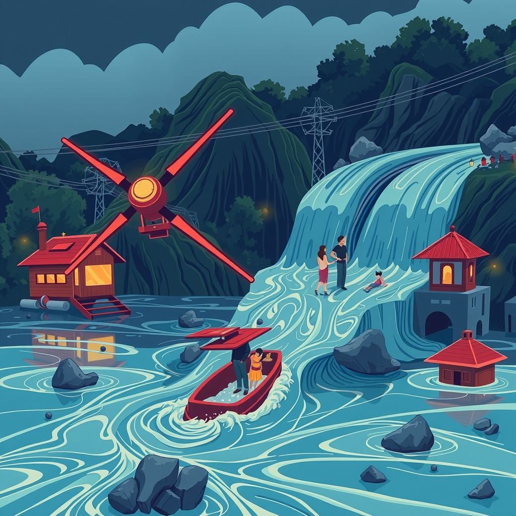
A landslide-triggered flood along the Nepal-Tibet border killed at least 160 people and left hundreds missing, exposing the lack of any system that could have warned residents before the surge hit. A massive rock-ice avalanche dammed the Lhende River, then burst, turning the valley into a death trap of “liquid concrete.”
How the disaster unfolded
Seismographs recorded a magnitude-4.4 tremor just before the flood, prompting early reports to blame an earthquake. The U.S. Geological Survey later showed that long-period seismic waves came from the landslide itself, not a tectonic shift. A senior researcher at a regional mountain-development centre explained that the avalanche buried part of the river, creating a natural dam. Water backed up behind the blockage until the dam gave way, unleashing a wall of mud, ice and water that swept away vehicles and multi-storey buildings in seconds.
Hydrologists noted a striking detail: no significant rainfall fell in the days before the event. Most flood-warning systems rely on rain gauges or satellite-based precipitation estimates. Without that trigger, those systems stay silent even as a catastrophic flood builds behind an unseen dam.
The warning-system gap
A dam-breach flood rushes through a valley in minutes, leaving little time to evacuate. Survivors who escaped climbed at least 20 feet above the riverbed; vehicles could not outrun the surge. Experts argue that the only realistic chance to save lives is to detect dam formation and imminent breach minutes—not hours—in advance.
Real-time river-level gauges spot a rising water column behind a blockage. Where a gauge can transmit data instantly, a 20- to 30-minute warning is technically possible. Yet the Himalayas remain sparsely instrumented; many tributaries lack permanent stations, and the rugged terrain makes installation and maintenance costly.
Climate-driven changes are making such events more frequent. Glacial melt, permafrost thaw and hotter heat waves destabilise slopes, turning rock-ice avalanches into a regular hazard. A similar glacial-lake outburst flood struck Nepal’s Rasuwa District in July 2025 after a lake in China’s Gyirong County burst, underscoring the trans-border nature of the risk.
Emerging sensor-and-AI solutions
Researchers are now weaving three strands of technology to fill the warning void:
- Distributed seismic and acoustic sensors. Small, low-power seismometers placed on slopes pick up the low-frequency vibrations of a landslide and distinguish them from tectonic quakes. When a network detects a sudden surge in energy, it flags a potential dam-forming event within seconds.
- River-stage monitoring using radar and ultrasonic probes. Mounted on bridges or riverbanks, these devices measure water height without contact. Wireless transmission lets a network of probes stream real-time water-level curves to a central hub.
- AI models that fuse sensor streams with satellite imagery. Machine-learning algorithms trained on past landslide and flood events recognise patterns—rapid surface deformation, changes in river colour, thermal signatures—that precede a dam breach. By ingesting data from ground sensors, weather satellites and synthetic-aperture radar (which sees through clouds), the models issue probabilistic alerts.
Pilot projects in other mountain regions have shown that a combined sensor-AI system can shave minutes off detection time, enough to trigger sirens, mobile alerts and the opening of emergency shelters. In Nepal, a handful of NGOs have begun testing low-cost seismic nodes on vulnerable slopes, but a coordinated national rollout remains absent.
Stakes for the region
- 인명 보호. 갑작스러운 댐(자연 댐) 형성으로 고립될 수 있는 강 유역에는 수백 가구가 살고 있습니다. 적시에 이루어지는 경보는 휩쓸려 가는 대신 대피할 수 있는 기회를 제공합니다.
- 국경 간 수자원 안보. Lhende 강은 인도로 흘러드는 더 큰 분지로 이어집니다. 통제되지 않은 홍수는 하류의 인프라를 손상시키고, 전력 생산을 중단시키며, 농경지를 침수시켜 네팔 국경 너머로 재난을 확산시킬 수 있습니다.
- 경제적 비용. 홍수 이후 도로, 교량 및 주택을 재건하는 비용은 소규모 센서 네트워크를 설치하는 비용보다 훨씬 많이 듭니다. 2025년 GLOF(빙하호 붕괴 홍수) 복구 비용은 수천만 달러에 달했는데, 이는 기본적인 조기 경보 시스템 구축에 필요한 비용의 극히 일부에 불과합니다.
- 전략적 안정성. 지진과 유사한 양상을 보이는 산사태는 재난 대응을 복잡하게 만들고, 이미 지진 이벤트로 인해 한계에 다다른 응급 서비스에 부담을 줍니다. 신뢰할 수 있는 탐지 시스템은 당국이 자원을 더 효율적으로 배분할 수 있도록 돕습니다.
도입 장벽
지형이 가장 명백한 장애물입니다. 가파르고 외딴 경사면은 접근하기 어렵고, 센서에 전력을 계속 공급하는 것은 물류 측면에서 매우 까다로운 문제입니다. 태양광 패널이 대안이 될 수 있지만, 폭설과 몬순 구름은 발전량을 감소시킵니다. 오보 또한 또 다른 위험 요소입니다. 너무 자주 "위험"을 알리는 네트워크는 대중의 신뢰를 떨어뜨려, 사람들이 실제 경고를 무시하게 만들 수 있습니다.
데이터 공유 또한 진전을 가로막고 있습니다. 한 국가에서 수집된 하천 수위 정보는 하류 인접 국가에 매우 중요할 수 있지만, 정치적 민감성과 기술적 불호환성으로 인해 실시간 교환이 제한됩니다. 지역 데이터 플랫폼을 구축하려면 표준, 암호화 및 경보 책임에 관한 합의가 필요합니다.
자금 조달도 여전히 불확실합니다. 지진 노드나 레이더 탐사 장비의 하드웨어 비용은 급격히 하락했지만, 수천 킬로미터에 걸쳐 네트워크를 확장하려면 여전히 상당한 투자가 필요합니다. 국제 기부자, 개발 은행 및 민간 부문 파트너들이 이러한 프로젝트를 위해 기후 적응 기금을 배정하기 시작했지만, 집행 과정은 느리게 진행됩니다.
향후 주목해야 할 사항
- 통합 센서-AI 키트의 현장 시험: 산사태 발생 위험이 가장 높은 네팔 지역에서의 시험 운영입니다. 파일럿 프로젝트가 성공하면 정부가 전국적인 확산을 위해 예산을 배정하도록 설득할 수 있습니다.
- 국경 간 데이터 공유 프로토콜: 네팔, 인도, 중국 간의 프로토콜, 특히 여러 관할 구역을 가로지르는 하천에 대한 프로토콜입니다. 조기에 합의가 이루어지면 재난 발생 시 경보 전파 속도를 높일 수 있습니다.
- 공공 경보를 위한 규제 프레임워크: 누가, 어떤 채널을 통해 경보를 발령할 수 있는지, 그리고 AI가 생성한 경보를 어떻게 검증할지를 정의하는 것이 대중의 대응 방식을 결정할 것입니다.
- 지역 사회 차원의 교육: 주민들이 경보를 받았을 때 어떻게 행동해야 하는지 모른다면 아무리 뛰어난 기술이라도 실패합니다. 현지 훈련, 표지판 설치 및 교육 캠페인은 하드웨어를 보완하는 필수 요소입니다.
시사점
네팔의 홍수는 강수량과 무관한 거대한 재난이 단 몇 분 만에 발생할 수 있으며, 기존의 홍수 경보가 무용지물이 될 수 있음을 증명했습니다. 위성 및 지상 데이터를 해석하는 AI와 연결된 저비용 지진 및 하천 수위 센서 네트워크를 구축하면, 인명을 구조하는 데 필요한 짧지만 결정적인 경보 시간을 확보할 수 있습니다. 다음 "액체 콘크리트(liquid concrete)"와 같은 급류가 들이닥치기 전에 기술적, 물류적, 정치적 격차를 해소하느냐에 따라 히말라야가 계속해서 죽음의 땅으로 남을지, 아니면 기술이 시간을 벌어주는 지역이 될지가 결정될 것입니다.