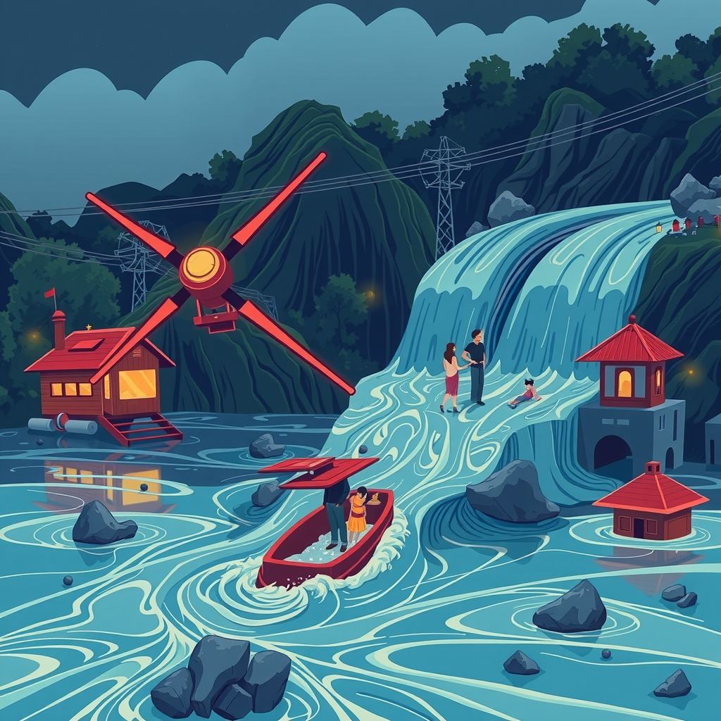
A landslide-triggered flood along the Nepal-Tibet border killed at least 160 people and left hundreds missing, exposing the lack of any system that could have warned residents before the surge hit. A massive rock-ice avalanche dammed the Lhende River, then burst, turning the valley into a death trap of “liquid concrete.”
How the disaster unfolded
Seismographs recorded a magnitude-4.4 tremor just before the flood, prompting early reports to blame an earthquake. The U.S. Geological Survey later showed that long-period seismic waves came from the landslide itself, not a tectonic shift. A senior researcher at a regional mountain-development centre explained that the avalanche buried part of the river, creating a natural dam. Water backed up behind the blockage until the dam gave way, unleashing a wall of mud, ice and water that swept away vehicles and multi-storey buildings in seconds.
Hydrologists noted a striking detail: no significant rainfall fell in the days before the event. Most flood-warning systems rely on rain gauges or satellite-based precipitation estimates. Without that trigger, those systems stay silent even as a catastrophic flood builds behind an unseen dam.
The warning-system gap
A dam-breach flood rushes through a valley in minutes, leaving little time to evacuate. Survivors who escaped climbed at least 20 feet above the riverbed; vehicles could not outrun the surge. Experts argue that the only realistic chance to save lives is to detect dam formation and imminent breach minutes—not hours—in advance.
Real-time river-level gauges spot a rising water column behind a blockage. Where a gauge can transmit data instantly, a 20- to 30-minute warning is technically possible. Yet the Himalayas remain sparsely instrumented; many tributaries lack permanent stations, and the rugged terrain makes installation and maintenance costly.
Climate-driven changes are making such events more frequent. Glacial melt, permafrost thaw and hotter heat waves destabilise slopes, turning rock-ice avalanches into a regular hazard. A similar glacial-lake outburst flood struck Nepal’s Rasuwa District in July 2025 after a lake in China’s Gyirong County burst, underscoring the trans-border nature of the risk.
Emerging sensor-and-AI solutions
Researchers are now weaving three strands of technology to fill the warning void:
- Distributed seismic and acoustic sensors. Small, low-power seismometers placed on slopes pick up the low-frequency vibrations of a landslide and distinguish them from tectonic quakes. When a network detects a sudden surge in energy, it flags a potential dam-forming event within seconds.
- River-stage monitoring using radar and ultrasonic probes. Mounted on bridges or riverbanks, these devices measure water height without contact. Wireless transmission lets a network of probes stream real-time water-level curves to a central hub.
- AI models that fuse sensor streams with satellite imagery. Machine-learning algorithms trained on past landslide and flood events recognise patterns—rapid surface deformation, changes in river colour, thermal signatures—that precede a dam breach. By ingesting data from ground sensors, weather satellites and synthetic-aperture radar (which sees through clouds), the models issue probabilistic alerts.
Pilot projects in other mountain regions have shown that a combined sensor-AI system can shave minutes off detection time, enough to trigger sirens, mobile alerts and the opening of emergency shelters. In Nepal, a handful of NGOs have begun testing low-cost seismic nodes on vulnerable slopes, but a coordinated national rollout remains absent.
Stakes for the region
- 生命安全。 数百个家庭居住在河谷中,一旦发生突发性溃坝,他们可能会被隔绝。及时的预警意味着可以撤离,而不是被洪水卷走。
- 跨境水安全。 Lhende 河补给着流入印度的更大流域。失控的洪水会破坏下游基础设施、中断发电并淹没农田,使灾难的影响超出尼泊尔国界。
- 经济成本。 洪水过后重建道路、桥梁和房屋的成本远高于安装一个适度的传感器网络。2025 年 GLOF(冰湖溃决洪水)的重建费用高达数千万美元——而这仅是建立一个基础预警系统所需资金的一小部分。
- 战略稳定性。 模拟地震发生的滑坡会使灾难响应变得复杂,并使本就因地震事件而压力巨大的应急服务部门更加吃力。可靠的监测有助于当局更有效地分配资源。
部署障碍
地形是最明显的障碍。陡峭、偏远的山坡难以到达,维持传感器的电力供应也是一个物流难题。太阳能电池板虽然有效,但厚重的积雪和季风云层会削减其输出。误报是另一个风险:一个频繁发出“危险”信号的网络会侵蚀公众信任,导致人们忽视真实的预警。
数据共享也阻碍了进展。在一个国家收集的河流水位信息对下游邻国至关重要,但政治敏感性和技术不兼容限制了实时交换。建立区域数据平台需要就标准、加密和预警责任达成协议。
资金仍存在不确定性。地震节点或雷达探测器的硬件成本已大幅下降,但在数千公里的范围内扩展网络仍需要大量投资。国际捐助者、开发银行和私营部门合作伙伴已开始为这类项目拨出气候适应资金,但拨款过程进展缓慢。
后续关注重点
- 集成传感器-AI 套件在尼泊尔滑坡高发地区的实地测试。 成功的试点可能会说服政府拨出预算进行全国推广。
- 尼泊尔、印度和中国之间的跨境数据共享协议, 特别是针对跨越多个管辖区的河流。早期的协议可以在灾害发生期间加速预警的传播。
- 公共预警的监管框架。 明确谁可以发布预警、通过哪些渠道发布以及如何验证 AI 生成的预警,将决定公众的反应。
- 社区层面的培训。 如果居民不知道如何根据预警采取行动,即使是最好的技术也会失效。当地的演习、标识和教育活动是硬件必不可少的补充。
核心结论
尼泊尔的洪水证明,一场大规模的、与降雨无关的灾难可以在几分钟内爆发,使传统的洪水预警变得毫无用处。部署一个由低成本地震和水位传感器组成的网络,并将其与能够解读卫星和地面数据的 AI 相结合,可以提供挽救生命所需的短暂但至关重要的预警窗口。在下一次“液态混凝土”浪潮袭来之前,弥合技术、物流和政治方面的差距,将决定喜马拉雅山脉是继续作为一个“死亡地带”,还是成为一个可以通过技术争取时间的地区。