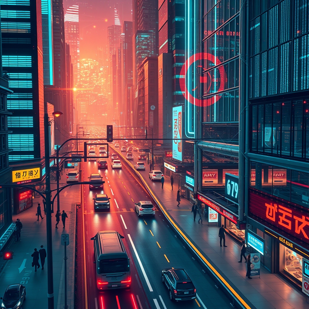
Every major city now runs on video. Traffic intersections, subway platforms, public parks, and shopping districts feed continuous footage into municipal control rooms. The raw volume is staggering. Without interpretation, those frames are just expensive files consuming server space. Deep learning has shifted the equation. It gives urban systems the ability to watch, understand, and react to events as they unfold, turning passive recordings into active infrastructure.
From Pixels to Decisions
Traditional computer vision relied on hand-crafted rules. Engineers programmed systems to look for specific shapes, colors, or motion patterns. These methods worked in controlled labs, but cities are messy. Shadows shift. Rain smears lenses. Pedestrians huddle under umbrellas that look nothing like the training diagrams. Rule-based systems failed constantly, drowning operators in false positives.
Deep learning approaches the problem differently. Convolutional neural networks and their descendants learn features directly from data. Instead of telling a computer what a bicycle looks like, engineers feed it millions of labeled examples until the model builds its own internal concept of a bicycle. The result is a system that handles real-world variation without breaking. A camera pointed down a congested boulevard can distinguish a delivery van from a bus even at dusk, through light fog, or when the vehicles partially overlap. More importantly, the model outputs confidence scores and structured metadata rather than raw pixels, which means downstream software can trigger alerts, update dashboards, or feed directly into traffic control hardware.
Traffic Management and Flow Control
Urban traffic is one of the clearest wins for video analytics. Fixed-timing traffic lights were designed decades ago for predictable rush-hour patterns. They cannot adapt when a concert empties into the streets two hours early or when a fender bender blocks the middle lane.
Deep learning systems mounted at intersections count vehicles by type, measure queue lengths at red lights, and estimate wait times. City engineers can see not just that a road is busy, but why it is busy. Is the backup caused by through-traffic, left turns without protected signals, or pedestrians crossing against the light? Cameras with onboard inference can adjust signal phasing in real time to favor the direction actually carrying the load. Some systems flag incidents immediately—detecting a wrong-way driver, a stalled vehicle, or debris in the roadway—often faster than a human operator scanning a wall of monitors could react.
These tools also integrate with broader urban planning. By analyzing weeks of video, cities identify chronic bottlenecks that signal a need for new turn lanes or adjusted speed limits, replacing guesswork with observed behavior.
Public Safety and Surveillance
Safety applications extend far beyond simple motion detection. Modern analytics can spot patterns that precede accidents or crimes. A backpack left unattended on a train platform for more than a defined interval triggers a notification. Smoke or abrupt crowd scattering visible on riverfront cameras can indicate an emergency before anyone calls it in.
The key improvement is selectivity. Older systems barked at every squirrel and swaying tree branch. Deep learning models filter out irrelevant motion and flag genuinely unusual behavior. A fight breaking out in a plaza produces a specific kinetic signature different from a group of friends roughhousing or a street performer doing acrobatics. Security staff can focus their attention on a handful of verified events rather than chasing hundreds of erroneous alerts across a shift.
Crowd Monitoring and Density Analysis
Large public gatherings present unique risks. Stadium exits, festival grounds, and transit hubs during holidays can turn dangerous when density exceeds safe thresholds. Deep learning systems perform crowd counting and density estimation by analyzing the spatial distribution of people across a scene.
These tools generate heatmaps showing where crowds thicken in real time. Event organizers and police can open secondary exits, redirect foot traffic, or pause arrivals before a dangerous crush forms. During more routine periods, the same technology measures pedestrian flow through retail corridors or transit mezzanines, helping architects and city planners understand how people actually move through shared spaces. Queue length estimation at airports and government offices, likewise, allows staff to open additional service windows before lines spiral.
Object Detection and Tracking in Urban Settings
Cities are filled with moving parts: pedestrians, cyclists, scooters, pets, delivery robots, and vehicles of every size. Deep learning systems do not merely detect these objects in a single frame; they track them across time and across camera networks.
Multi-object tracking assigns consistent identities to entities as they traverse a scene. A pedestrian who steps behind a parked van does not disappear from the system’s awareness; the model predicts trajectory and reacquires the target when visible again. When extended across a network of cameras with overlapping fields of view, person re-identification allows a city to follow a vulnerable individual or locate a lost child without relying on a single operator manually scrubbing hours of footage.
These capabilities also underpin logistics and enforcement. Automated license plate recognition is already common, but newer vehicle re-identification systems can track a specific car’s journey without reading the plate, using distinguishing features like bumper stickers, roof racks, or wheel patterns. For law enforcement this is powerful, but it also raises legitimate questions about scope and oversight that city administrators must address through strict policy.
The Infrastructure Challenge
Deploying these systems at city scale is not a software-only problem. Thousands of cameras streaming high-resolution video generate petabytes of data. Sending everything to a central cloud for analysis is expensive and slow. Network bandwidth becomes the limiting factor before compute does.
Cities are responding with edge computing. Modern smart cameras include dedicated inference accelerators that run models locally and only transmit alerts, counts, or compressed metadata back to headquarters. This reduces bandwidth costs and cuts latency from seconds down to milliseconds, which matters when adjusting traffic signals or stopping a train.
Maintenance is another hurdle. Outdoor cameras accumulate grime, ice, and spiderwebs. A model trained on pristine images degrades in performance when the lens is filthy. Reliable deployments require automated health monitoring and field maintenance schedules. Firmware updates, model retraining with local data, and security patches add ongoing operational costs that procurement teams often underestimate during pilot projects.
Privacy and the Human Element
No discussion of urban video analytics can skip privacy. The same models that count pedestrians can identify faces. The same tracking that finds a lost person can follow a protestor. Cities adopting these tools must establish clear data retention limits, restrict facial recognition to narrowly defined circumstances governed by warrant or consent, and publish transparency reports about camera locations and system capabilities.
Anonymization techniques help. Models can be configured to blur faces and license plates by default, extracting only the behavioral metadata needed for traffic or safety management. Processing data locally at the edge rather than archiving weeks of raw footage in a central server limits the risk of mass surveillance and data breaches.
For a deeper look at the algorithms and applications surveyed here, the full research paper is available at the source paper on Dev.to. If you want to discuss these ideas with others working in urban AI and computer vision, join the conversation over at the GyaanSetu Telegram community.
The Real Work Starts After the Model Is Trained
Deep learning has moved video analytics from science experiment to operational reality. Cameras in smart cities no longer just record; they interpret, measure, and respond. The technology exists to manage traffic flow, prevent crowd disasters, and speed emergency response using video that was already being captured anyway.
But hardware and algorithms are only part of the job. A city that deploys these tools without maintenance plans, without network architecture that respects bandwidth limits, and without privacy guardrails will create either an expensive failure or an invasive surveillance apparatus. The difference lies in implementation details. Deep learning provides the eyes; city planners and engineers still provide the judgment.