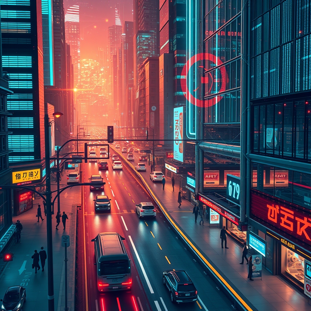
હવે દરેક મુખ્ય શહેર વીડિયો પર ચાલે છે. ટ્રાફિકના ચાર રસ્તાઓ, સબવે પ્લેટફોર્મ, જાહેર બગીચા અને શોપિંગ વિસ્તારો સતત ફૂટેજ મ્યુનિસિપલ કંટ્રોલ રૂમમાં મોકલે છે. આ ડેટાનું પ્રમાણ આશ્ચર્યજનક છે. જો તેનું વિશ્લેષણ કરવામાં ન આવે, તો તે માત્ર સર્વર સ્પેસનો વપરાશ કરનારી મોંઘી ફાઇલો છે. ડીપ લર્નિંગે આ સમીકરણ બદલી નાખ્યું છે. તે શહેરી પ્રણાલીઓને ઘટનાઓ બનતી વખતે તેને જોવા, સમજવા અને તેના પર પ્રતિક્રિયા આપવાની ક્ષમતા આપે છે, જેનાથી નિષ્ક્રિય રેકોર્ડિંગ્સ સક્રિય ઈન્ફ્રાસ્ટ્રક્ચરમાં ફેરવાઈ જાય છે.
પિક્સેલ્સથી નિર્ણયો સુધી
પરંપરાગત કમ્પ્યુટર વિઝન હાથથી બનાવેલા નિયમો પર આધારિત હતું. એન્જિનિયરો ચોક્કસ આકારો, રંગો અથવા ગતિના પેટર્ન શોધવા માટે સિસ્ટમ્સ પ્રોગ્રામ કરતા હતા. આ પદ્ધતિઓ નિયંત્રિત લેબમાં કામ કરતી હતી, પરંતુ શહેરો જટિલ હોય છે. પડછાયાઓ બદલાતા રહે છે. વરસાદ લેન્સને ધૂંધળા કરી દે છે. પદયાત્રીઓ છત્રીઓ નીચે એવી રીતે ભેગા થાય છે જે ટ્રેનિંગ ડાયાગ્રામ જેવી દેખાતી નથી. નિયમ-આધારિત સિસ્ટમ્સ સતત નિષ્ફળ જતી હતી, જેના કારણે ઓપરેટરો ખોટા એલર્ટ્સ (false positives) થી પરેશાન થતા હતા.
ડીપ લર્નિંગ આ સમસ્યા તરફ અલગ રીતે વલણ અપનાવે છે. કન્વોલ્યુશનલ ન્યુરલ નેટવર્ક્સ અને તેના વંશજો ડેટામાંથી સીધા જ લક્ષણો (features) શીખે છે. કમ્પ્યુટરને સાયકલ કેવી દેખાય છે તે કહેવાને બદલે, એન્જિનિયરો તેને લાખો લેબલ કરેલા ઉદાહરણો આપે છે જ્યાં સુધી મોડેલ સાયકલની પોતાની આંતરિક વિભાવના ન બનાવી લે. તેનું પરિણામ એક એવી સિસ્ટમ છે જે કોઈપણ અવરોધ વિના વાસ્તવિક દુનિયાના ફેરફારોને સંભાળી શકે છે. ગીચ બુલેવર્ડ પર રાખેલું કેમેરા સાંજની ધૂંધળ પટ્ટીમાં અથવા જ્યારે વાહનો અંશતઃ એકબીજાને ઢાંકી દેતા હોય ત્યારે પણ ડિલિવરી વાન અને બસ વચ્ચેનો તફાવત પારખી શકે છે. વધુ મહત્વનું એ છે કે, મોડેલ કાચા પિક્સેલ્સને બદલે કોન્ફિડન્સ સ્કોર્સ અને સ્ટ્રક્ચર્ડ મેટાડેટા આપે છે, જેનો અર્થ છે કે ડાઉનસ્ટ્રીમ સોફ્ટવેર એલર્ટ્સ ટ્રિગર કરી શકે છે, ડેશબોર્ડ અપડેટ કરી શકે છે અથવા સીધું ટ્રાફિક કંટ્રોલ હાર્ડવેરમાં ડેટા મોકલી શકે છે.
ટ્રાફિક મેનેજમેન્ટ અને ફ્લો કંટ્રોલ
શહેરી ટ્રાફિક એ વીડિયો એનાલિટિક્સનો સૌથી સ્પષ્ટ ફાયદો છે. ફિક્સ-ટાઈમિંગ ટ્રાફિક લાઈટ્સ દાયકાઓ પહેલા અનુમાનિત રશ-અવર પેટર્ન માટે બનાવવામાં આવી હતી. જ્યારે કોઈ કોન્સર્ટ બે કલાક વહેલા પતી જાય અથવા જ્યારે નાની ટક્કરને કારણે વચ્ચેનો લેન બ્લોક થઈ જાય, ત્યારે તેઓ અનુકૂલન સાધી શકતા નથી.
ચાર રસ્તાઓ પર લગાવવામાં આવેલી ડીપ લર્નિંગ સિસ્ટમ્સ વાહનોની સંખ્યા તેમના પ્રકાર મુજબ ગણે છે, લાલ લાઈટ પર કતારની લંબાઈ માપે છે અને રાહ જોવાનો સમય અંદાજિત કરે છે. શહેરના એન્જિનિયરો માત્ર એ જ નહીં જોઈ શકે કે રસ્તો વ્યસ્ત છે, પરંતુ તે શા માટે વ્યસ્ત છે તે પણ જાણી શકે છે. શું ટ્રાફિક જામ પાછળથી આવતા વાહનો, સુરક્ષિત સિગ્નલ વગરના ડાબી બાજુના વળાંકો, અથવા લાઈટ વિરુદ્ધ પદયાત્રીઓ પસાર થવાને કારણે છે? ઓનબોર્ડ ઇન્ફરન્સ ધરાવતા કેમેરા વાસ્તવિક સમયમાં સિગ્નલ ફેઝિંગને એ રીતે એડજસ્ટ કરી શકે છે જે ખરેખર વધુ ટ્રાફિક ધરાવતા દિશાને પ્રાધાન્ય આપે. કેટલીક સિસ્ટમ્સ ઘટનાઓને તરત જ ફ્લેગ કરે છે—જેમ કે ખોટી દિશામાં ચાલતું વાહન, અટકેલું વાહન અથવા રસ્તા પરનો કચરો શોધવું—જે ઘણીવાર મોનિટર સ્ક્રીન જોતા માનવ ઓપરેટર કરતા પણ ઝડપી હોય છે.
આ સાધનો વ્યાપક શહેરી આયોજન સાથે પણ સંકલિત થાય છે. અઠવાડિયાના વીડિયોનું વિશ્લેષણ કરીને, શહેરો એવા કાયમી અવરોધો (bottlenecks) ઓળખે છે જે નવા ટર્ન લેન અથવા એડજસ્ટ કરેલ સ્પીડ લિમિટની જરૂરિયાત સૂચવે છે, જેનાથી અંદાજ લગાવવાને બદલે અવલોકન કરેલા વર્તનને આધારે નિર્ણય લઈ શકાય છે.
જાહેર સુરક્ષા અને દેખરેખ
સુરક્ષાના ઉપયોગો માત્ર સાધારણ મોશન ડિટેક્શનથી ઘણું આગળ છે. આધુનિક એનાલિટિક્સ અકસ્માત અથવા ગુનાઓ પહેલાં થતા પેટર્નને ઓળખી શકે છે. ટ્રેન પ્લેટફોર્મ પર નિર્ધારિત સમય કરતાં વધુ સમય માટે મૂકેલું બેકપેક નોટિફિકેશન ટ્રિગર કરે છે. નદી કિનારે કેમેરા પર દેખાતો ધુમાડો અથવા અચાનક ભીડનું વિખરાઈ જવું કોઈના ફોન કરવાના આગલા તબક્કે જ કટોકટીનો સંકેત આપી શકે છે.
મુખ્ય સુધારો તેની પસંદગી કરવાની ક્ષમતામાં છે. જૂની સિસ્ટમ્સ દરેક गिलહરી અથવા હલતી ઝાડની ડાળી પર પણ એલર્ટ આપતી હતી. ડીપ લર્નિંગ મોડેલ્સ બિનજરૂરી હલચલને ફિલ્ટર કરે છે અને ખરેખર અસામાન્ય વર્તનને ફ્લેગ કરે છે. પ્લેઝામાં થતી લડાઈની ગતિશીલતા (kinetic signature) મિત્રોના મસ્તી-મજાક અથવા સ્ટ્રીટ પર્ફોર્મરના એક્રોબેટિક્સ કરતા અલગ હોય છે. સુરક્ષા સ્ટાફ શિફ્ટ દરમિયાન સેંકડો ખોટા એલર્ટ્સ પાછળ દોડવાને બદલે માત્ર થોડી ચકાસાયેલ ઘટનાઓ પર ધ્યાન કેન્દ્રિત કરી શકે છે.
ભીડનું નિરીક્ષણ અને ઘનતા વિશ્લેષણ
મોટા જાહેર મેળાવડાઓ વિશિષ્ટ જોખમો રજૂ કરે છે. સ્ટેડિયમના એક્ઝિટ પોઈન્ટ્સ, તહેવારો દરમિયાન ઉત્સવના મેદાનો અને ટ્રાન્ઝિટ હબ ત્યારે જોખમી બની શકે છે જ્યારે ભીડની ઘનતા સુરક્ષિત મર્યાદાથી વધી જાય. ડીપ લર્નિંગ સિસ્ટમ્સ દ્રશ્યમાં લોકોના અવકાશી વિતરણ (spatial distribution) નું વિશ્લેષણ કરીને ભીડની ગણતરી અને ઘનતાનો અંદાજ લગાવે છે.
These tools generate heatmaps showing where crowds thicken in real time. Event organizers and police can open secondary exits, redirect foot traffic, or pause arrivals before a dangerous crush forms. During more routine periods, the same technology measures pedestrian flow through retail corridors or transit mezzanines, helping architects and city planners understand how people actually move through shared spaces. Queue length estimation at airports and government offices, likewise, allows staff to open additional service windows before lines spiral.
Object Detection and Tracking in Urban Settings
Cities are filled with moving parts: pedestrians, cyclists, scooters, pets, delivery robots, and vehicles of every size. Deep learning systems do not merely detect these objects in a single frame; they track them across time and across camera networks.
Multi-object tracking assigns consistent identities to entities as they traverse a scene. A pedestrian who steps behind a parked van does not disappear from the system’s awareness; the model predicts trajectory and reacquires the target when visible again. When extended across a network of cameras with overlapping fields of view, person re-identification allows a city to follow a vulnerable individual or locate a lost child without relying on a single operator manually scrubbing hours of footage.
These capabilities also underpin logistics and enforcement. Automated license plate recognition is already common, but newer vehicle re-identification systems can track a specific car’s journey without reading the plate, using distinguishing features like bumper stickers, roof racks, or wheel patterns. For law enforcement this is powerful, but it also raises legitimate questions about scope and oversight that city administrators must address through strict policy.
The Infrastructure Challenge
Deploying these systems at city scale is not a software-only problem. Thousands of cameras streaming high-resolution video generate petabytes of data. Sending everything to a central cloud for analysis is expensive and slow. Network bandwidth becomes the limiting factor before compute does.
Cities are responding with edge computing. Modern smart cameras include dedicated inference accelerators that run models locally and only transmit alerts, counts, or compressed metadata back to headquarters. This reduces bandwidth costs and cuts latency from seconds down to milliseconds, which matters when adjusting traffic signals or stopping a train.
Maintenance is another hurdle. Outdoor cameras accumulate grime, ice, and spiderwebs. A model trained on pristine images degrades in performance when the lens is filthy. Reliable deployments require automated health monitoring and field maintenance schedules. Firmware updates, model retraining with local data, and security patches add ongoing operational costs that procurement teams often underestimate during pilot projects.
Privacy and the Human Element
No discussion of urban video analytics can skip privacy. The same models that count pedestrians can identify faces. The same tracking that finds a lost person can follow a protestor. Cities adopting these tools must establish clear data retention limits, restrict facial recognition to narrowly defined circumstances governed by warrant or consent, and publish transparency reports about camera locations and system capabilities.
Anonymization techniques help. Models can be configured to blur faces and license plates by default, extracting only the behavioral metadata needed for traffic or safety management. Processing data locally at the edge rather than archiving weeks of raw footage in a central server limits the risk of mass surveillance and data breaches.
For a deeper look at the algorithms and applications surveyed here, the full research paper is available at the source paper on Dev.to. If you want to discuss these ideas with others working in urban AI and computer vision, join the conversation over at the GyaanSetu Telegram community.
The Real Work Starts After the Model Is Trained
ડીપ લર્નિંગે વિડિયો એનાલિટિક્સને વિજ્ઞાનના પ્રયોગમાંથી કાર્યકારી વાસ્તવિકતામાં ફેરવી દીધું છે. સ્માર્ટ શહેરોમાં કેમેરા હવે માત્ર રેકોર્ડિંગ જ નથી કરતા; તેઓ અર્થઘટન કરે છે, માપે છે અને પ્રતિસાદ આપે છે. પહેલેથી જ કેપ્ચર થઈ રહેલા વિડિયોનો ઉપયોગ કરીને ટ્રાફિકના પ્રવાહનું સંચાલન કરવા, ભીડને કારણે થતી દુર્ઘટનાઓને અટકાવવા અને ઇમરજન્સી પ્રતિસાદને ઝડપી બનાવવા માટેની ટેકનોલોજી ઉપલબ્ધ છે.
પરંતુ હાર્ડવેર અને અલ્ગોરિધમ્સ એ કામનો માત્ર એક ભાગ છે. જે શહેર જાળવણી યોજનાઓ વિના, બેન્ડવિડ્થ મર્યાદાઓનું સન્માન કરતી નેટવર્ક આર્કિટેક્ચર વિના અને ગોપનીયતાના સુરક્ષા માપદંડો વિના આ સાધનોનો ઉપયોગ કરે છે, તે કાં તો મોંઘી નિષ્ફળતા અથવા આક્રમક દેખરેખ તંત્ર ઊભું કરશે. તફાવત અમલીકરણની વિગતોમાં રહેલો છે. ડીપ લર્નિંગ આંખો પૂરી પાડે છે; શહેરના આયોજકો અને એન્જિનિયરો હજુ પણ નિર્ણયશક્તિ પૂરી પાડે છે.